Mountain Valleys and Scenic Landscapes
Pai sits inside a fertile valley ringed by 1,500-metre peaks. Here's where to find the canyons, viewpoints, rice fields and bamboo bridges that define it.
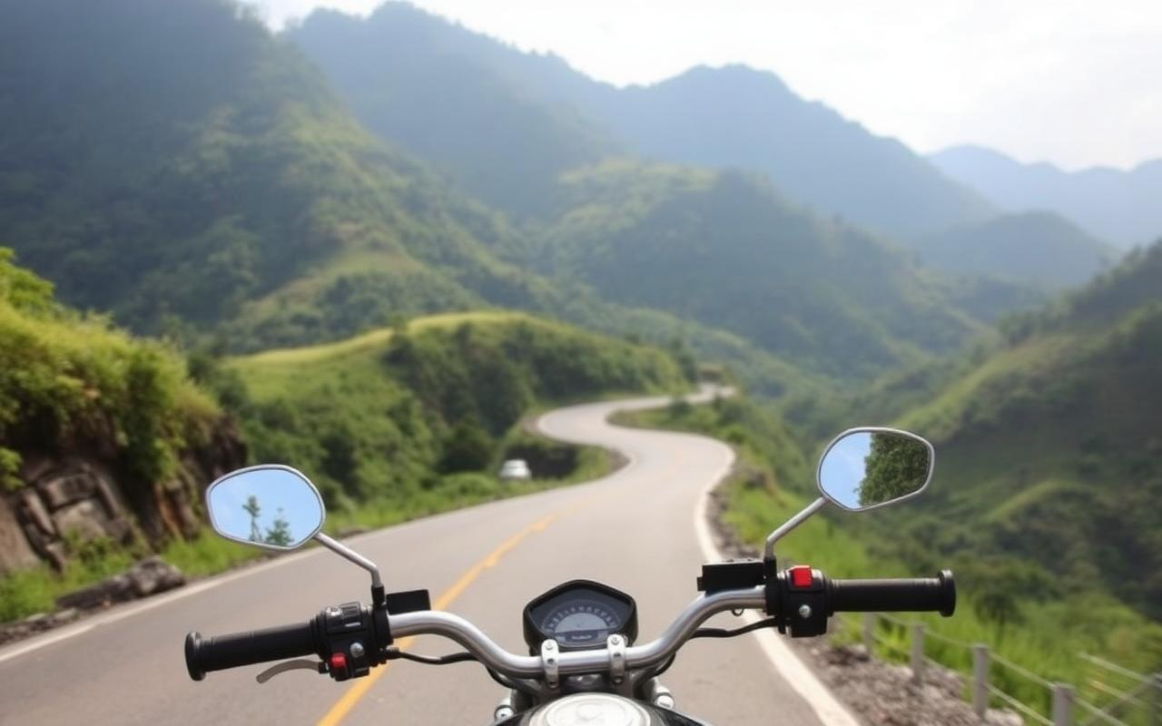
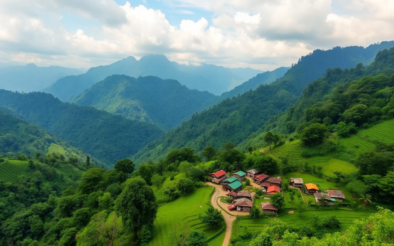
The Pai valley is shaped like a shallow bowl. Rice fields fill the flat center, the Pai River loops through it, and steep forested mountains rise on every side. Almost every scenic spot is within a 30-minute scooter ride of town, which makes a single day enough to taste it all — though most travelers end up returning to the same viewpoint two or three times.
Pai Canyon (Kong Lan)
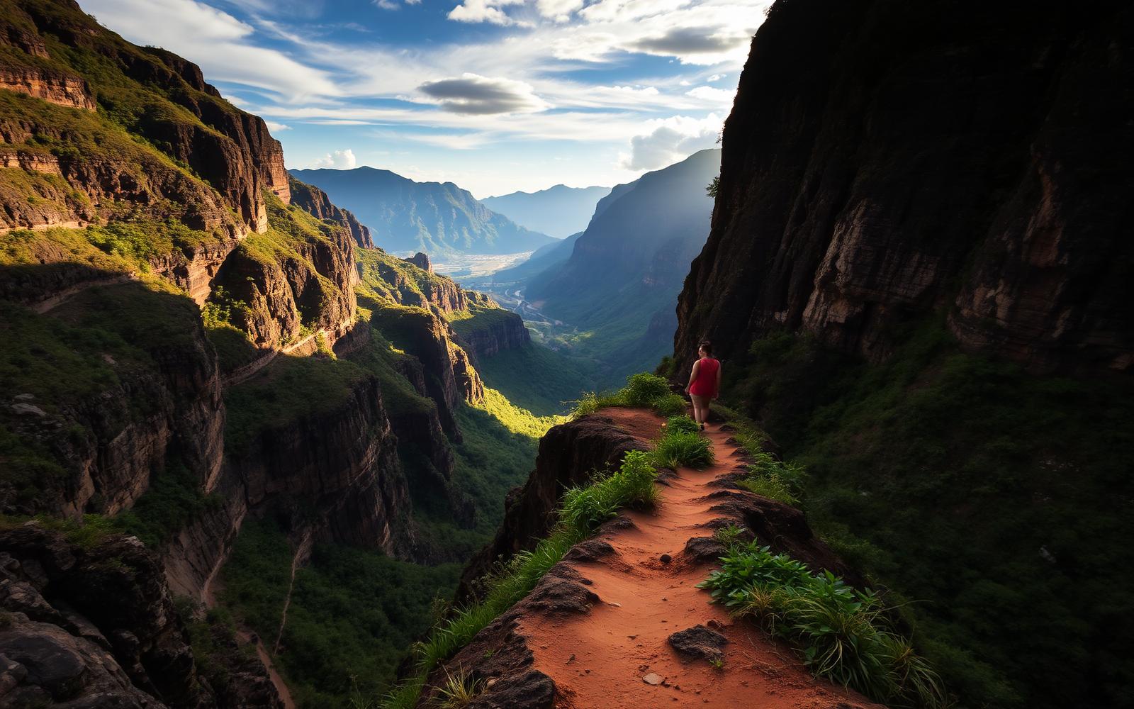
Pai Canyon is a network of narrow eroded red-clay ridges about 8 km south of town. The drops are real — some sections are less than a metre wide with a 30-metre fall on each side. It's free to enter, open 24 hours, and absolutely packed at sunset.
Opening hours
Open 24/7
Entrance fee
Free
Distance from Pai town
8 km south on Route 1095 (15 min by scooter)
Best time
Arrive 1 hour before sunset; stay for the afterglow
Difficulty
Easy walk to the main viewpoint, scrambling required for far ridges
Safety
No railings — do not approach the edge in flip-flops or after rain
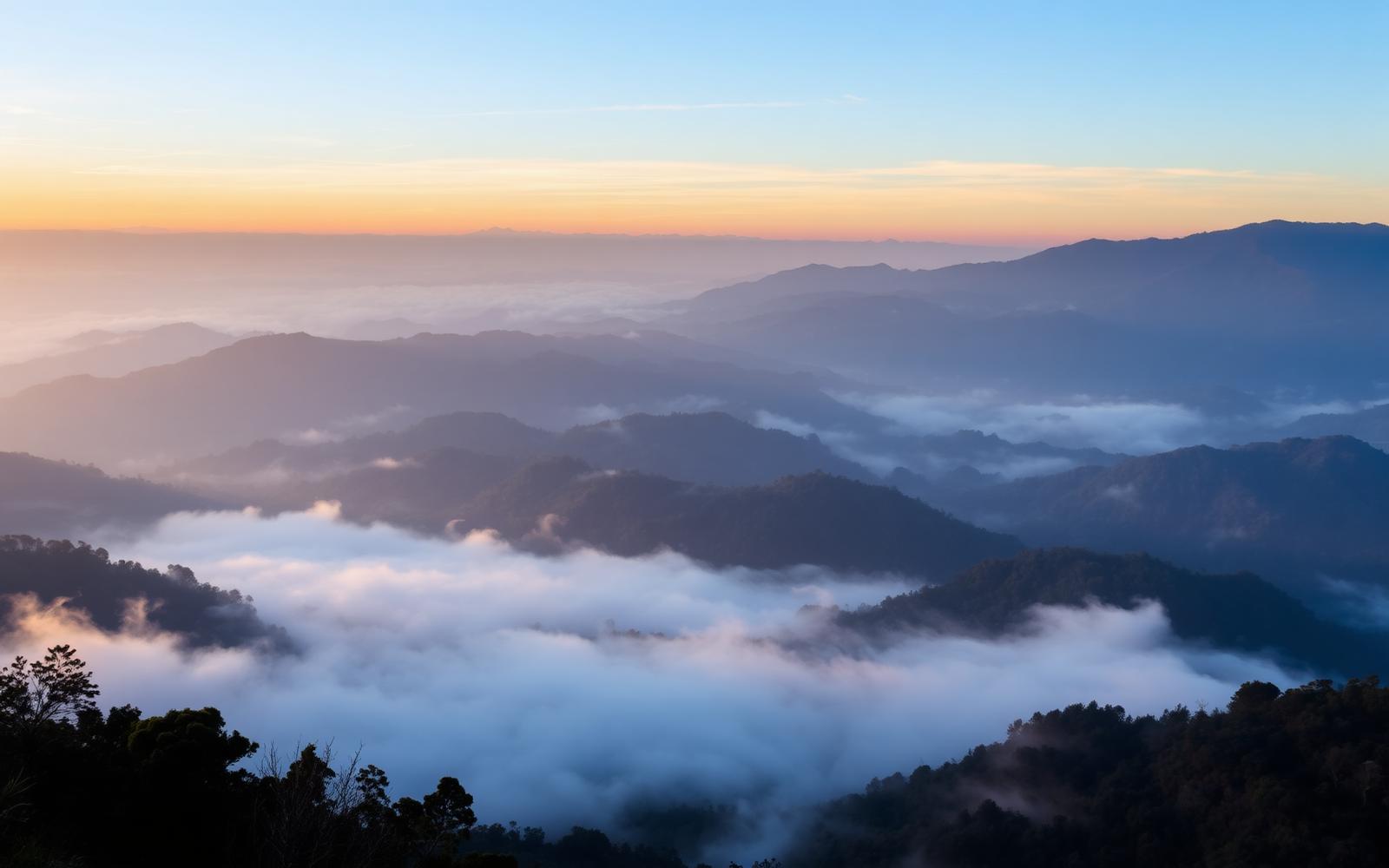
Mountain viewpoints
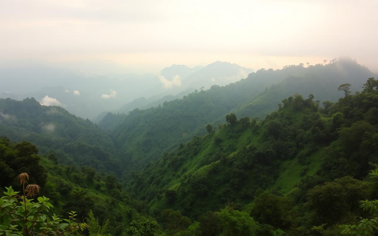
Three viewpoints sit on the ridge west of town and catch the sunrise mist that fills the valley on cool-season mornings:
- Yun Lai Viewpoint — ฿20 entry, open from ~5:30am, Chinese-Yunnanese tea served free on arrival. Best sunrise spot in Pai.
- Two Huts Pai — small café-viewpoint above Santichon village; coffee, hammocks, no crowds.
- Pai Land Split — quirky farm where the ground actually cracked open in 2008. Free hibiscus juice and roselle wine; donation-based.
Rice fields & bamboo bridges
The valley floor is green from July through October and gold in November. The most photographed spot is the Bamboo Bridge (Boon Ko Ku So), a 800-metre handmade bamboo walkway built by local villagers so monks could cross the rice fields to the temple on the far side.
Bamboo Bridge entrance
฿30 donation
Opening hours
Roughly 7am–6pm
Distance from town
9 km north of Pai, off Route 1095
Best season
August–November when rice is bright green or golden
Sunrise & sunset locations
Sunrise — clear skies
Yun Lai Viewpoint
Sunrise — sea of mist
Doi Kiew Lom (1 hr drive south of Pai)
Sunset — wide valley
Pai Canyon
Sunset — river vibe
Sunset Bar, Pai River
Sunset — village feel
Two Huts above Santichon
Hiking opportunities
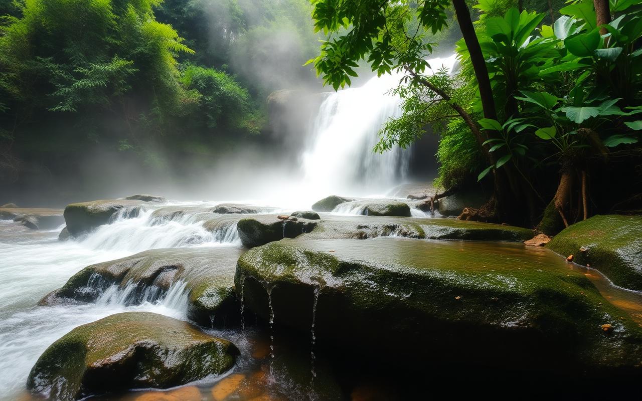
- Mae Yen Waterfall trail — 7 km one-way along the Mae Yen river, 25–30 river crossings, 4–6 hours round-trip. Go with a guide or in a group.
- Doi Mae Yen ridge — viewpoint hike behind town, ~2 hours up. Best at sunrise.
- Huai Nam Dang National Park — between Chiang Mai and Pai, dawn cloud-sea viewpoint at 1,962 m.
Seasonal differences
Cool season (Nov–Feb)
Clear skies, mist-filled mornings, 12–25°C. Peak season.
Hot season (Mar–May)
Heat plus burning-season smoke haze. Avoid for landscapes.
Rainy season (Jun–Oct)
Lush green valley, full waterfalls, occasional landslides on the 1095.
Travel tips
- Photographers: bring a wide lens for the canyon and a telephoto for misty mountain layers.
- Bring water and a light layer for sunrise — the ridge is cold and windy.
- Do canyon walks before sunset, not after dark — there is no lighting.
- Avoid riding to viewpoints in heavy rain; the back roads turn to red mud.
- Show up to Yun Lai 30 minutes before sunrise to claim a tea-hut seat.
Interactive map
Pai Canyon (Kong Lan) — the most iconic viewpoint