Scenic Motorbike Routes from Chiang Mai to Pai
Route 1095, 135 km, 762 curves and one of the most beautiful mountain rides in Southeast Asia. Here's how to do it safely.
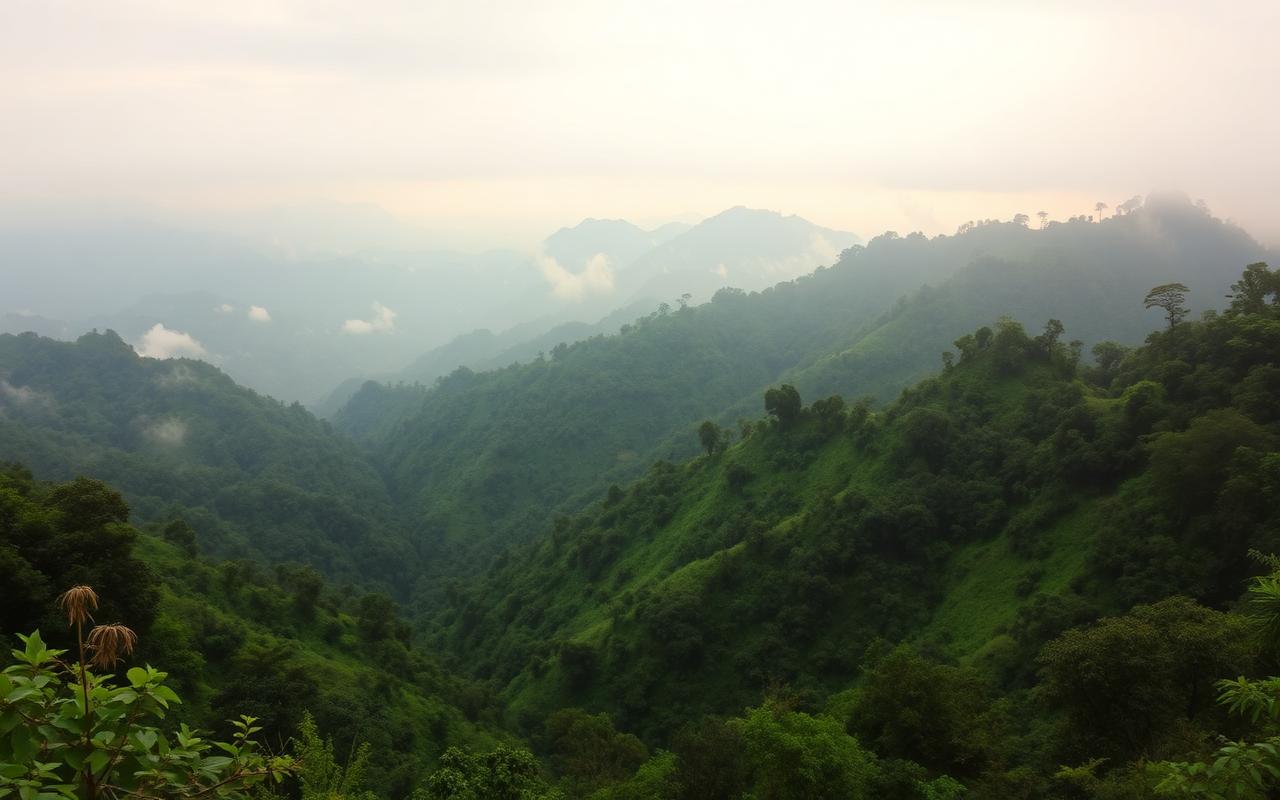
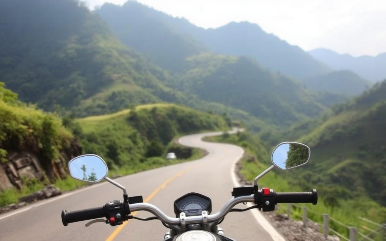
The 135 km mountain road from Chiang Mai to Pai is one of Thailand's classic rides. Route 1095 climbs out of the Chiang Mai basin, twists through Huai Nam Dang National Park and drops into the Pai valley over 3–4 hours of nearly continuous corners. Locals call it the "762 curves." Done well it's unforgettable. Done badly it puts riders in the Pai hospital — which has a permanent stack of crutches just for foreigners.
Route overview
Distance
135 km / 84 miles
Driving time
3 hours non-stop, 4–5 hours with stops
Road
Highway 107 → Route 1095 from Mae Malai
Elevation gain
Sea level to ~1,400 m at the Huai Nam Dang pass
Direction tip
Most riders go Chiang Mai → Pai in one day, then loop back later via Mae Hong Son
The famous 762 curves
The figure refers to surveyed corners on Route 1095 between Mae Malai and Pai. The first 30 km out of Mae Malai are mostly gentle; the climb into Huai Nam Dang National Park is where the road tightens into continuous switchbacks. Coming down the other side into the Pai valley, the corners loosen again. Pace yourself — fatigue, not speed, causes most crashes.
Estimated driving time
Experienced rider, no stops
3 hours
Typical first-time rider
4–5 hours
Car / minivan
3–3.5 hours
Bus from Chiang Mai Arcade
4 hours, departures roughly every 1.5 hours, 06:30–17:30
Fuel stations
- Mae Malai (km 35) — last large PTT/Bangchak station before the climb. Always fill here.
- Mae Taeng / Pong Yaeng — small village pumps before the mountain section.
- Huai Nam Dang summit area — only small roadside hand-pump shops; do not rely on them.
- Pai town — full-service PTT on the south entrance.
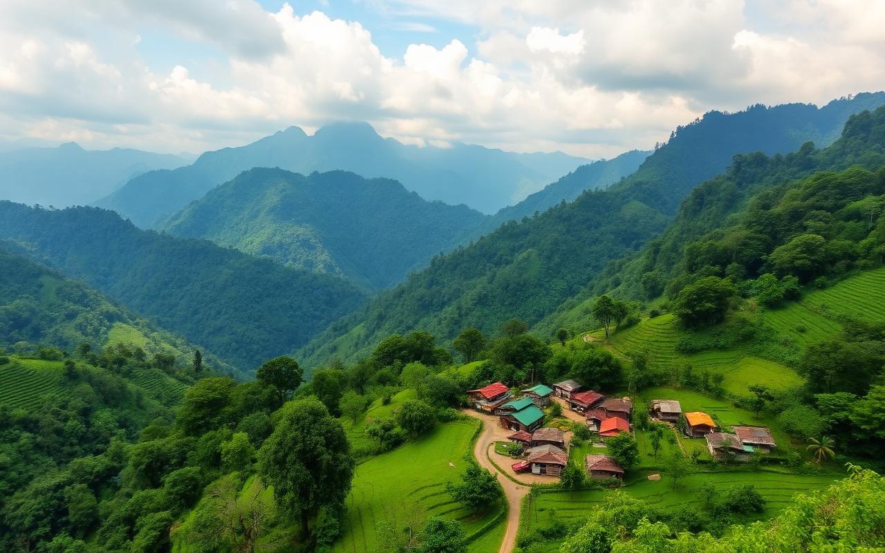
Scenic viewpoints worth stopping for
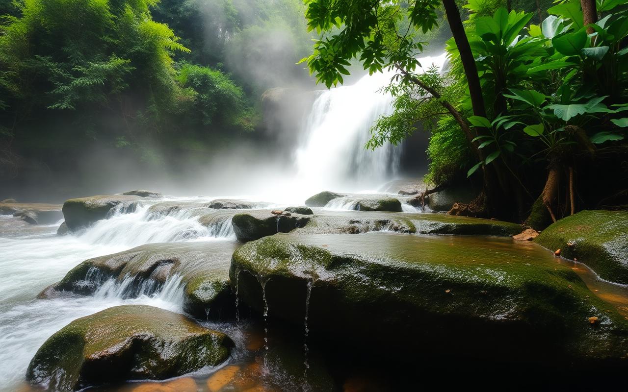
- Mok Fah Waterfall (km 60) — quick 5-minute walk off the highway.
- Huai Nam Dang National Park viewpoint — sea-of-clouds at sunrise; 6 km detour from Route 1095.
- Doi Kiew Lom viewpoint — wide valley views just before the descent.
- Pai Valley overlook — first sight of Pai about 10 km before town.
Coffee stops along the way
- Mae Malai morning market — coffee, fresh fruit, breakfast before the climb.
- De Doi Café — mountain coffee about halfway with valley views.
- Coffee in Love — postcard-famous café 5 km before Pai with rice-field views.
Safety recommendations
- Only ride this road if you have real motorbike experience — Pai is not the place to learn.
- Bring or buy a proper full-face helmet in Chiang Mai before leaving.
- Long sleeves, jeans and closed shoes. Most foreigner injuries here are road rash.
- Never ride in flip-flops, regardless of what the rental shop suggests.
- Take a corner slow if it has road signage warning — many tighten unpredictably.
- Travel insurance MUST explicitly cover motorbike riding and license requirements.
- Hold a valid motorcycle license (IDP with motorcycle endorsement); without it, insurance is void.
- Use Cave Lodge or Pai Adventure for forwarding luggage so you ride light.
Rainy season considerations
Risk months
June to October
Main hazards
Sudden afternoon downpours, landslides, mud on corners, fog at the Huai Nam Dang pass
Mitigation
Ride in the morning, avoid riding in active rain, watch for road-crew debris
Worst case
Route closures happen — check Mae Hong Son highway department updates
Emergency contacts
Tourist police
1155 (English available)
General emergency
191
Ambulance
1669
Pai Hospital
+66 53 699 031 — small but handles minor crashes; serious cases transfer to Chiang Mai
Chiang Mai Ram Hospital
+66 53 920 300 — international standard, your destination for major injuries
Alternative ways to travel
- Aya Service minivan — ฿200, ~4 hours, every 1.5 hours from Chiang Mai.
- Private car / taxi — ฿2,500–฿3,500 one way.
- Kan Air / domestic flights — small turboprop to Pai airstrip (seasonal, weather dependent).
- Bicycle — for experienced cyclists only; 2-day trip.
Interactive map
Route 1095 — Chiang Mai → Mae Malai → Pai